Sydney trains guide — lines, fares and tips for visitors
Which Sydney train line do tourists use most?
The T4 Eastern Suburbs/Illawarra line covers Circular Quay (Opera House, The Rocks), Martin Place (CBD), Kings Cross (Darlinghurst), and Bondi Junction (interchange for Bondi Beach). The City Circle (all CBD stations) is used daily. The T1 North Shore/Western line reaches the Blue Mountains (Katoomba, 2 hours from Central).
Sydney Trains — the network overview
Sydney Trains operates nine numbered train lines (T1–T9) radiating from the CBD, plus a City Circle loop connecting the major CBD stations. A separate metro network (Metro) operates on newer infrastructure and is expanding through 2026–2028. The two systems — Sydney Trains and Sydney Metro — share the same Opal card fare structure but run on different timetables and stopping patterns.
For most visitor purposes, Sydney Trains provides the essential connections: city to airport, city to the beaches, city to the inner suburbs, and city to the Blue Mountains. The Metro lines primarily serve the northwest corridor and Bankstown, which are less relevant for tourist use.
Understanding the basic structure:
- City Circle: A loop line connecting the major CBD stations — Museum, St James, Circular Quay, Wynyard, Town Hall, Central. All T-numbered lines pass through at least some of these stations.
- T1–T9 lines: Radiate outward from the CBD in different directions. Multiple lines share the City Circle, diverging at Central or Wynyard to their respective corridors.
The lines tourists use
City Circle — the inner core
The City Circle stations are:
Museum — exit for Hyde Park, the Australian Museum, St James Church
St James — exit for Hyde Park Barracks, Art Gallery of NSW (7-min walk), The Domain
Circular Quay — exit for the Opera House, ferry wharves (Manly, Taronga Zoo, Watsons Bay), The Rocks, MCA
Wynyard — exit for Barangaroo, CBD shopping (Pitt Street Mall), George Street
Town Hall — exit for Queen Victoria Building, Darling Harbour (15-min walk), CBD centre
Central — exit for Surry Hills, Chippendale, Newtown direction, intercity train platforms (Blue Mountains, Hunter Valley, South Coast)
T4 Eastern Suburbs and Illawarra line
The T4 is the most useful single tourist line in Sydney. From the CBD, it serves:
- Circular Quay → 3 minutes from Town Hall
- Martin Place → CBD financial district
- Kings Cross → Darlinghurst, Potts Point, Kings Cross village (cafés, restaurants)
- Edgecliff → 10-min walk to Paddington; also serves Woollahra
- Bondi Junction → interchange for bus 333 to Bondi Beach (10 min)
- Continuing south to Cronulla and the Illawarra line
From Bondi Junction, bus 333 to Bondi Beach departs from the Bondi Junction bus interchange (ground level below the train station). The bus fare is a flat AUD 2.00.
T1 North Shore/Western line
The T1 serves two distinct directions from the CBD:
North Shore direction: Wynyard → Milsons Point (directly under the Harbour Bridge on the north shore) → North Sydney → Chatswood. This line does not pass through Circular Quay.
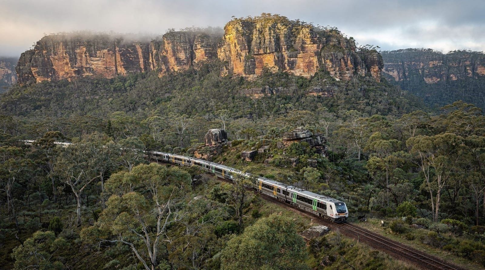
Western/Blue Mountains direction: Central → Strathfield → Parramatta → Penrith → (continuing west to) Katoomba (Blue Mountains), Lithgow.
For Blue Mountains day trips, the T1 from Central station is the departure point. Journey time to Katoomba is approximately 2 hours. See the Blue Mountains transport guide for timetables and planning.
T8 Airport and South line
The T8 Airport line runs from the CBD (Central station) through the airport stations to Wolli Creek and the South. As described in the Sydney Airport to CBD guide, this line charges a station access fee making airport journeys more expensive (~AUD 19) than equivalent distance trips on other lines.
T2 Inner West and Leppington line / T3 Bankstown line
The T2 and T3 serve the Inner West suburbs — Redfern, Erskineville, Newtown, Stanmore, Burwood, and west to Liverpool and Leppington. For visitors, the most useful stop is Newtown (King Street village, good cafés and independent retail).
Metro North West (M-line)
The Metro line from Chatswood (connect from T1) north to Tallawong and the Hills district serves suburban commuters rather than tourist destinations. Worth knowing it exists but rarely relevant for central Sydney visitor itineraries.
Opal fares for trains — the eight distance bands
Train fares are calculated by distance in eight bands, from the shortest journeys (Band 1, AUD 2.49) to the longest (Band 8, AUD 9.68). Weekend and off-peak fares are discounted.
| Band | Distance | Peak (Opal) | Off-peak / Weekend |
|---|---|---|---|
| 1 | 0–10 km | AUD 3.50 | AUD 2.45 |
| 2 | 10–20 km | AUD 4.61 | AUD 3.23 |
| 3 | 20–35 km | AUD 4.89 | AUD 3.42 |
| 4 | 35–65 km | AUD 5.92 | AUD 4.14 |
| 5 | 65–125 km | AUD 7.28 | AUD 5.10 |
| 6 | 125–175 km | AUD 8.31 | AUD 5.82 |
| 7 | 175–265 km | AUD 9.04 | AUD 6.33 |
| 8 | 265 km+ | AUD 9.68 | AUD 6.78 |
Note: these approximate the 2026 rate structure. Always verify current fares via the Transport for NSW website or Opal app, as fare adjustments occur annually.
Airport surcharge: The Airport Link stations add approximately AUD 14.60 to the standard band fare, making the airport train significantly more expensive than equivalent-distance network journeys.
Daily cap reminder: Once you hit AUD 19.30 (weekday) or AUD 9.65 (weekend) in a day, all further transport is free. The weekly cap of AUD 50 also applies.
Peak hours and when to avoid the trains
Sydney trains are genuinely crowded during morning and evening peak hours. For visitors, this is worth planning around:
Avoid if possible:
- 7:00–9:30am outbound (away from CBD): CBD trains to Eastern Suburbs (Bondi Junction), North Shore, and airport
- 7:30–9:30am inbound (toward CBD): all lines into Central, Town Hall, and Wynyard
- 4:30–6:30pm outbound: all lines from CBD stations
During peak, trains are standing-room-only on popular lines. The T4 between Circular Quay and Bondi Junction is particularly crowded outbound in morning peak and inbound in evening peak.
Good times to travel:
- 9:30am–3:30pm on weekdays (between the peaks)
- Weekends (lower volumes, lower fares)
- After 7pm on weekdays (off-peak discount, lower crowds)
Reading the signage
Sydney train platforms display LED departure boards showing:
- Line colour and number (T4, T1, etc.)
- Destination (final stop)
- Intermediate stops listed
- Platform number
- Minutes until departure
When the board shows “Bondi Junction via City Circle” — the train calls at all City Circle stations before Bondi Junction. “Bondi Junction via Kings Cross” — the train uses the Eastern Suburbs tunnel and does not call at Circular Quay or Wynyard.
On some platforms, multiple train lines use the same platform. Check the destination sign on the train (displayed on the front and sides of each carriage) before boarding.
Train tips for visitors
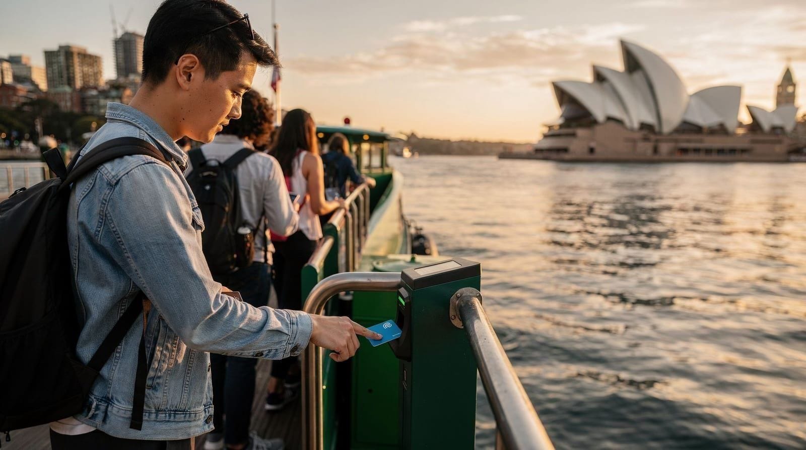
Tapping in and out: Tap your Opal card or bank card on the card reader at station entrance gates. Tap out at the card reader at exit gates. Both tap-in and tap-out are required — forgetting either results in the maximum fare being charged.
Barrier-free stations: Some smaller stations (particularly in the outer suburbs) have no gate barriers and rely on platform validators — free-standing card readers on the platform. Tap these even if there’s no physical gate to pass through.
Staff assistance: All major stations have Transport for NSW staff at ticket windows or information booths during operating hours. They can assist with fares, Opal card issues, and direction.
Luggage: No restrictions on luggage. Large suitcases fit in the vestibule areas of the carriages. During peak hours on crowded trains, large bags make boarding difficult — factor this in when choosing transport to the airport during peak.
Mobile network: Sydney Trains tunnels have 4G/5G mobile coverage on most lines. Circular Quay to Bondi Junction underground section has consistent coverage.
Sydney Metro — the newer network
The Sydney Metro network (M-prefix lines) operates on different infrastructure from Sydney Trains:
- Metro North West (M1): Tallawong to Chatswood — opened 2019, connects northwest suburbs, transfer at Chatswood to T1.
- Metro City and Southwest (M1 extension): Victoria Cross (North Sydney) → Barangaroo → Martin Place → Central → Waterloo → Bankstown — opened 2024.
The Metro uses different station entry/exit infrastructure but the same Opal card. Trains are fully automated and driverless. They run more frequently than Sydney Trains services (every 4–6 minutes).
For visitors, the Metro City and Southwest adds a faster connection to:
- Barangaroo (waterfront precinct, casino precinct)
- Waterloo (inner south, growing food scene)
- Martin Place (direct CBD stop, better for financial district than Sydney Trains’ Martin Place)
The Opal system treats Metro and Sydney Trains as interchangeable — fares are the same.
Key stations for visitors — summary
| Station | Train/Metro | Exit for |
|---|---|---|
| Central | T1–T8, Metro | Surry Hills, Newtown direction, intercity trains |
| Town Hall | T1–T5, Metro | QVB, Pitt Street Mall, George Street |
| Wynyard | T1, T3 | Barangaroo, CBD north, George Street |
| Circular Quay | T4, Metro | Opera House, Ferries, The Rocks, MCA |
| St James | T4 | Hyde Park, Art Gallery (7-min walk) |
| Museum | T4 | Hyde Park Barracks, Australian Museum |
| Kings Cross | T4 | Darlinghurst, Potts Point |
| Bondi Junction | T4 | Bus to Bondi Beach (333), Woollahra |
| Newtown | T2 | King Street, indie cafés, bookshops |
| Milsons Point | T1 | Harbour Bridge north pylons, Luna Park |
For full transport planning including ferry connections and bus routes from each station, use Google Maps or the TfNSW Trip Planner. Both provide real-time departure information.